Newberry County Mitigation Bank Survey
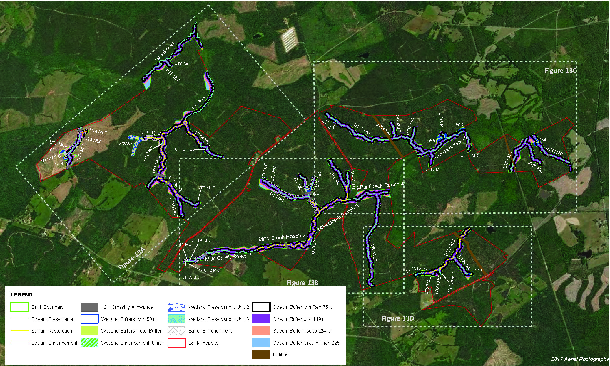
In February 2020, the Palustrine Group contacted Davis & Floyd to gauge interest in quoting a large conservation easement survey relating to a system of inland freshwater wetlands. The project encompassed a total area of over 420 acres with a perimeter of 157,977 feet or 29.92 miles. Critical to the survey job was completion in a 10-week time frame. Our survey staff performed all necessary record research of the target and adjacent properties to establish boundary locations for the purpose of tying the new Conservation Easement (CE) to the property. Preliminary field work located necessary boundary lines. Working with the Palustrine Group, D|F established the location of the CE. Next, our survey staff conducted the survey and monument of the easement, which required close coordination with Palustrine Group throughout the process.
D|F drafted the result of the survey and provided it to the client for review and approval. Upon client approval, the survey was submitted to both Laurens and Newberry Counties for review and recording. Recording the survey was the last step in activating the CE. After reviewing the project scope, schedule, and associated land maps, we put together and submitted a quote to the Palustrine Group. By the end of February 2020, we received a notice to proceed, successfully winning the project over two competitive bids. Close coordination with the client allowed for efficient use of our survey crews to work through difficult weather and field conditions to complete the project on time and within budget.


